How we plan for human-scaled mobility cities
Since the beginning, Henning Larsen’s philosophy has been guided by the drive to improve communities through thoughtful knowledge-based designs. This has been just as true for a small townhall on the Faroe Islands, like Eystur, as it is for our masterplans in cities across the globe. At the urban development scale, we bring a sensitivity to community and context that is an integral part of our Scandinavian design tradition. Sustainability is the jumping off point for any project, and mobility is often a key player in that strategy. The way people are able to move around a space, community, or city can be a decisive factor in the design’s sustainability. Whether it is a small community in Denmark or a Chinese megacity, our designs seek to bring human-scaled sustainable solutions wherever they are needed.
1. Shenzhen Bay Headquarters City
Our approach to Shenzhen Bay Headquarters City emphasized the human dimension within a 20-million-person megacity. Effectively reclaiming the entire ground level for pedestrians, our masterplan affirms there is no reason to exclude large-scaled cities from human-scaled mobility solutions.
Our masterplan substitutes the traditional car-oriented urban typology for a dynamic play of scales between towers and smaller buildings woven together by intimately sized alleys. Cars and large shopping malls are relegated to a network of underground roads and retail arcades, creating an eye level urban experience dominated by cultural institutions, civic functions, and public plazas.
Shenzhen Bay Headquarters City defines a new urban strategy for China centered around livability and mobility.
2. Bodø
Taking into account both the challenges and opportunities of an Arctic climate, we have designed a high-capacity public transit network for all-season use, just in time for the northern Norwegian city to claim the title of European Capital of Culture 2024.
A menu of well-connected mobility options ensures ease of access to all public, civic, and cultural institutions of the city, whether it is by walking, cycling, public transit, or car sharing. A network of protected multi-modal transportation hubs links up with community centers such as schools, day care, and elderly care. Where public transport doesn’t reach, e-bikes, car-sharing, or autonomous mobility pods complete the “first and last stretch” commute. The “green shortcut”, a car-free stretch of green space and public parks running through the city, connects the entire city from mountain to sea.
Despite Bodø’s intense winter season, the mobility strategy prioritizes active mobility while limiting private vehicular traffic. By creating a microclimate that optimizes light and minimizes wind and rain we can stretch the seasons for walking and cycling, even for a city within the Arctic Circle. With a high degree of connectivity both within the city and to the urban periphery, our masterplan anticipates the long-term growth of Bodø.
3. Vinge City and Train Station
Our proposal for Vinge, Denmark’s largest urban development, will build a new city with mobility, literally, at its core. Rather than have the new train station split the city in half, the station became an opportunity to create a landmark that melds mobility, landscape, and the public realm. A slopping hill arches across the train tracks to create an extended platform at the town’s center; a public plaza and transportation hub in one.
The city is an extension of Greater Copenhagen’s “Finger Plan” where small developments grow alongside green corridors. Our masterplan for Vinge brings dense and urban infrastructure to the area around the new station while maintaining this integral connection with nature.
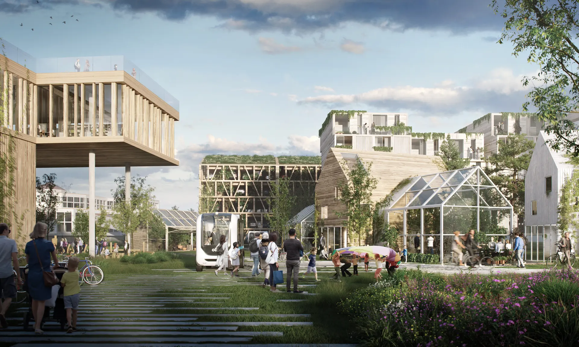
4. Vejlands Quarter
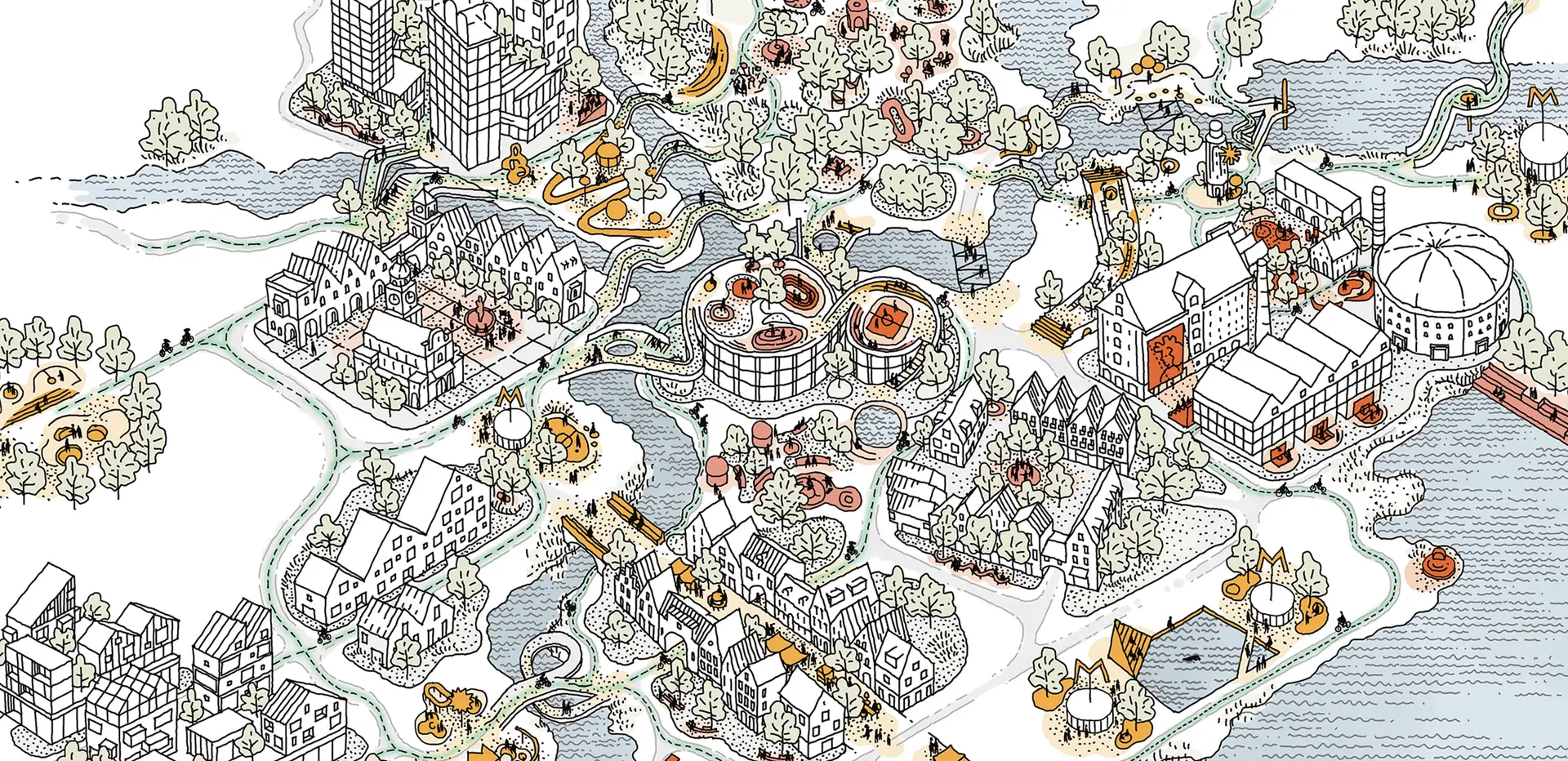
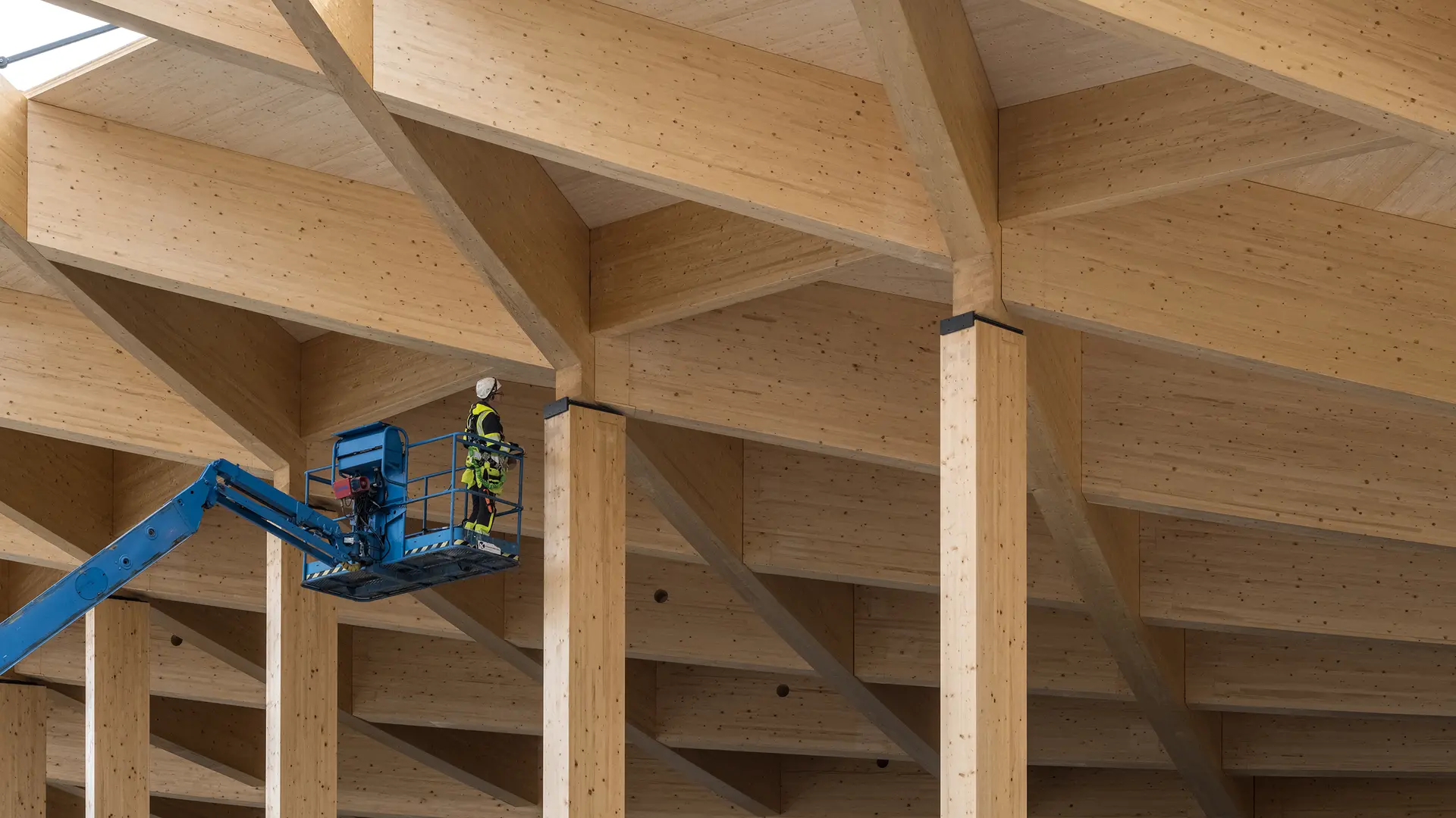
The effects of climate change and rapid urbanization demands that we create new urban typologies with a reduced carbon footprint. The Vejlands Quarter, just outside Copenhagen’s center, melds human priorities with the needs of the natural world in a new all-timber district. In keeping with this light-touch philosophy, the porous boundaries between the built and natural world allow residents to easily traverse out to Amager Fælled and, alternatively, plant and wildlife to infiltrate inside.
Vejland is broken up into three interconnected regions that create an intimate village setting within the urban district. With a school, day care center, nursing home, and shops, Vejlands is a complete district for its 7,000 residents. Car traffic, which is severely limited in the development, becomes practically superfluous; nature is always present and nothing is more than a 10-minute walk away.
5. Gdansk Imperial Shipyard
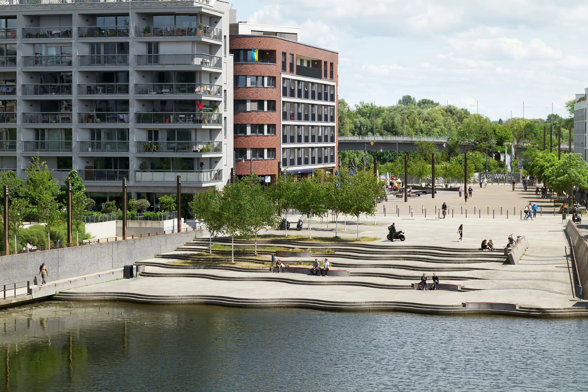
Our masterplan for the Gdansk Imperial Shipyard is a case study in how we can address two seemingly opposing problems facing cities. On the one hand, preserving a historical industrial waterfront site and, on the other, building a modern-day urban mobility strategy where none existed before.
While maintaining the existing buildings on site, the 400,000 m2 masterplan connects the waterfront and shipyard with the inner city. The mobility strategy is comprised of three major corridors- the promenade, the urban street, and the spine- that limits car traffic while providing a generous pedestrian and cyclists plan that is woven into the city’s existing street structure. In place of a proposed city highway running adjacent to the district, Gdansk Imperial Shipyard now boasts an ambitious goal of one-third of all trips completed by bicycle.
The Imperial Shipyard, already a prominent site in Gdansk history, will become an integrated and vibrant new urban district.